What is it?

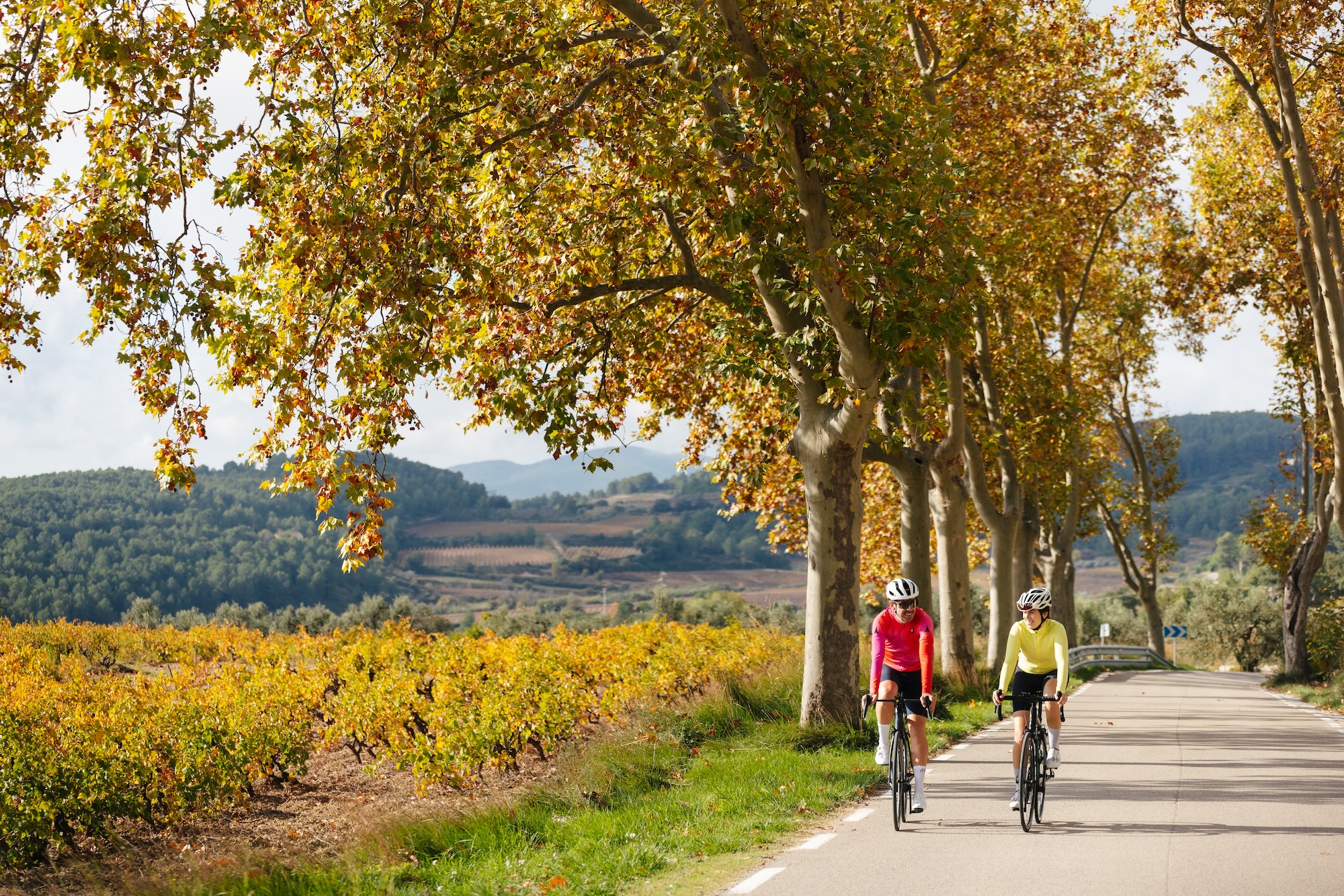
The Alt Penedès ‘Cyclability Plan’ is a document that defines a structured, safe and functional cycling network as a real alternative to the private motor vehicle. The Plan prioritizes everyday mobility, but it also considers leisure and cycle touring trips, thus contributing to a more sustainable, healthy and inclusive local mobility model.

The Plan is designed based on an analysis of the region and has involved regional stakeholders. The routes of the resulting ‘cyclable’ network take into account their consistency, directness, safety, comfort and attractiveness.

Finally, the Plan incorporates a progressive implementation strategy to allow its effective execution over time.
Image
Logotipo Consell Comarcal de l'Alt Penedès
The ‘Cyclability’ Plan is a project of the Penedès County Council.

This website enjoys the collaboration of the Penedès Tourism Promotion Consortium.

Objectives of the Plan

Sustainability

Direct reduction in energy consumption, noise pollution and greenhouse gas emissions.

Health

Improved physical health through active transport.

Well-being

Improved emotional well-being, with more predictable and relaxed journeys.

Social equity

An accessible solution for people that do not have access to a private vehicle.

Economic promotion

Attractive for cycling tourism and improving the quality of public space in the local municipalities.

Image
Cicloturisme al Penedès

An extensive rideable network

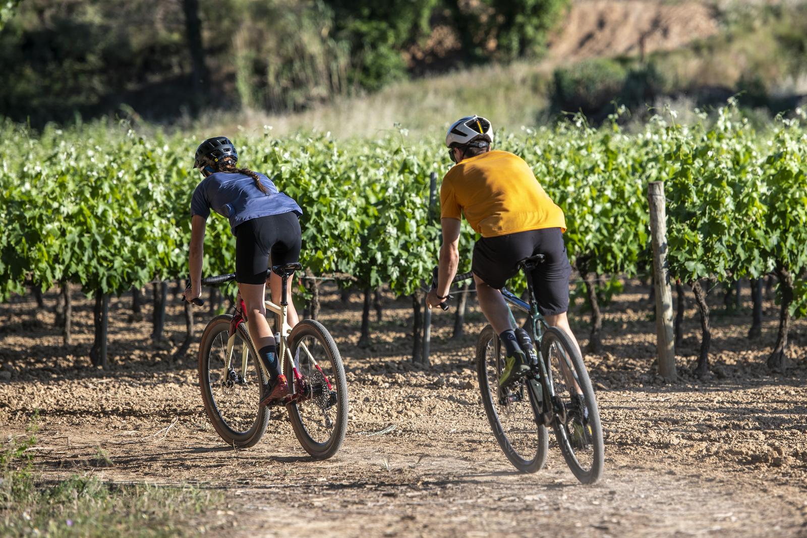
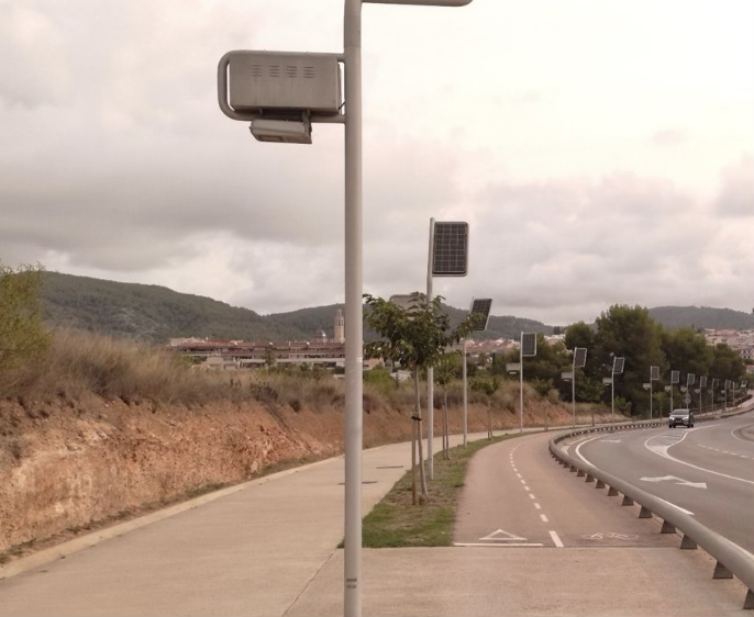
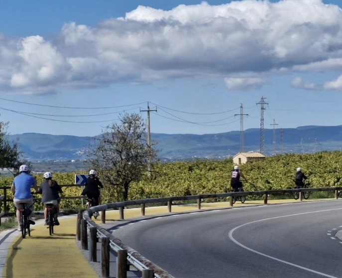
Paths, tracks, bike lanes... the routes of the network connect the municipalities and towns and villages of the region. We encourage using bicycles whether it’s to go to work or school, to do every day errands, or to enjoy the landscapes of the Alt Penedès, its vineyards, its charming villages, its natural sites and heritage treasures.
0 km

of network criss-crossing the area

0 %

of the network currently practicable

Types of interurban solutions

Image
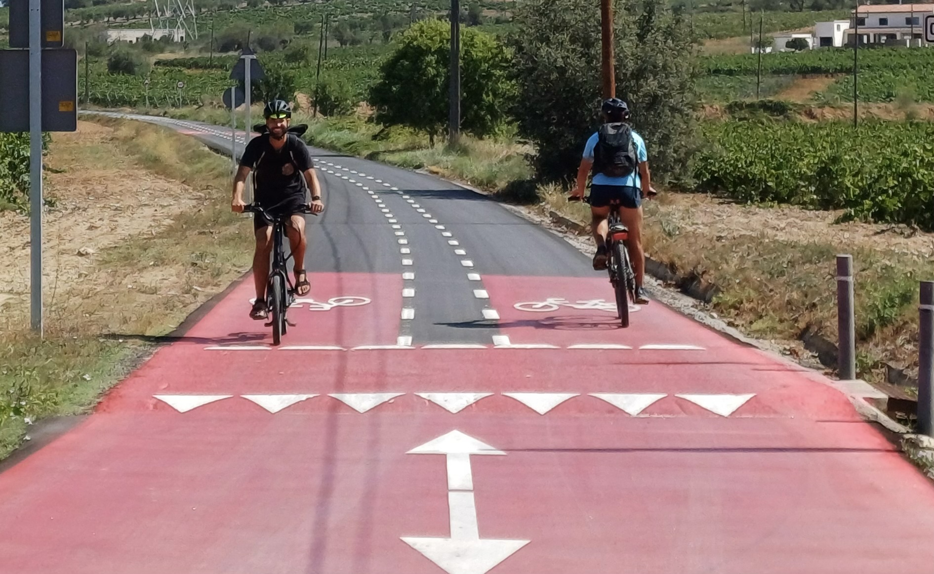
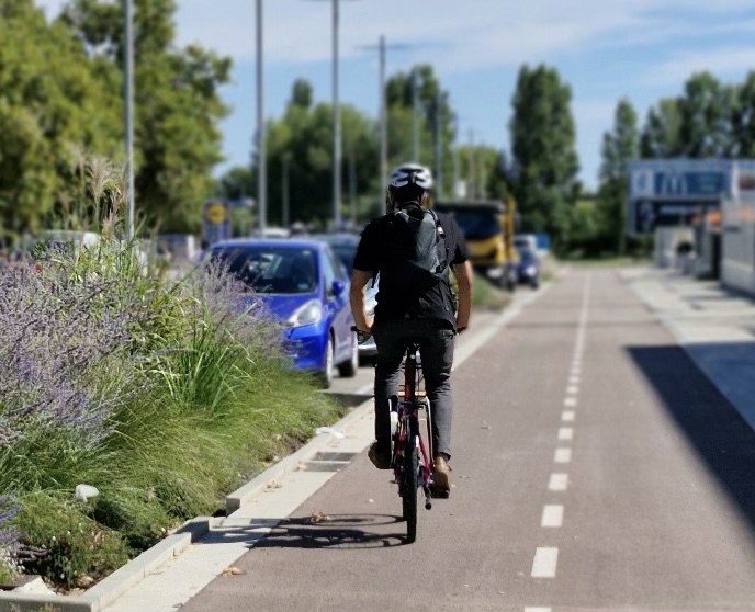
Carril bici segregat

Road with segregated bike lane

Road with a protected bike lane on the same road platform and following the road route. Bicycles have their own space for circulating that is physically separated from motorized traffic and differentiated from pedestrian spaces.

Image
Carretera amb voral protegit

Road with protected shoulder

Conventional road with a protected shoulder on the same road platform and following the road route. Bicycles and pedestrians share a space that is physically segregated from motorized traffic.

Image
Carretera amb voral senyalitzat per a ciclistes

Road with a signposted shoulder for cyclists

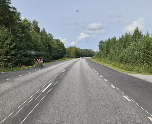
Road for motor vehicles where pedestrians and bicycles can also circulate. Bicycles are required to circulate along wide and specifically marked shoulders where they have priority.

Image
Pista bici

Cycle path

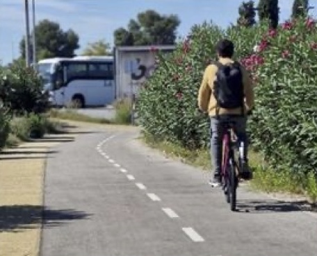
Space for bicycles with a separate route from the road. It offers a high degree of safety and priority for bikes, but it can only be rendered in areas with lots of available space. It usually has an adjacent, separate space for pedestrians.

Image
Via verda

Green route

Route exclusively for pedestrians and bicycles or with stringent traffic restrictions, which runs through natural environments, separated from the road network and with finishings integrated into the landscape.

Image
Cicloturisme al Penedès

Unmade tracks or paths

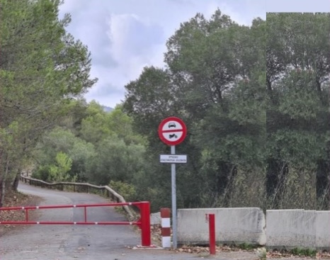
A track or dirt road that runs through natural environments shared by pedestrians, bicycles and motor vehicles.

Image
Via 2 + 1

2-1

Low-traffic paved ways where pedestrians and bicycles coexist with vehicles on the road, but have priority. The 2-1 solution model establishes cyclist priority side strips that can be driven on by cars.

Types of solutions in urban areas

Image
Carril bici en calçada

Roadway bike lane

Lane reserved for bicycles. It may or may not be segregated and may be uni- or bidirectional. It requires its own space on the roadway.

Image
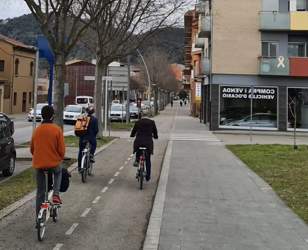
Carril bici en vorera

Pavement bike lane

Bike lane marked on the pavement, without the need to take space away from vehicles on the road. It is only recommended when there is little pedestrian and cycle traffic and provided the pedestrian space is wide enough.

Image
Vorera compartida

Shared pavement

Pavement shared by pedestrians and bikes, without no space exclusively for bikes, segregated and protected from the circulation of motor vehicles.

Image
Plataforma única

Single platform

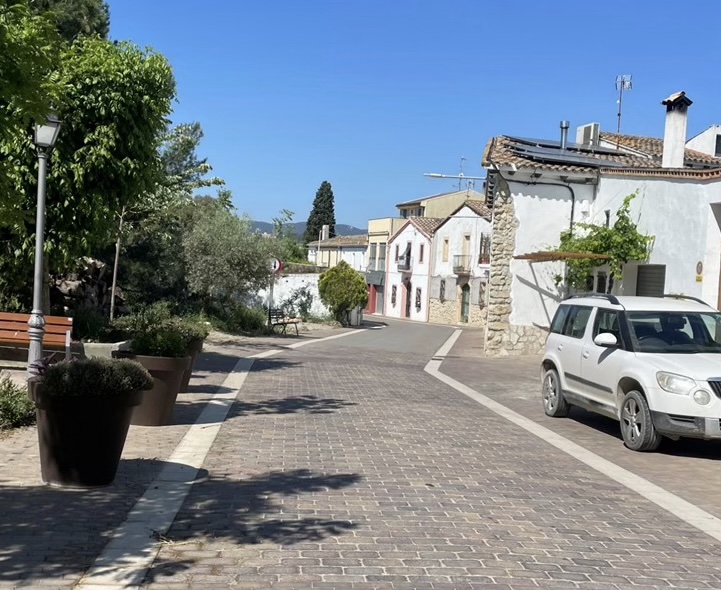
Shared space with cars and pedestrians, where pedestrians and bicycles have priority over cars. A low intensity of car traffic is required to operate.

Image
Carrer bici

Bike street

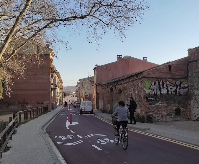
Spaces shared with cars on the roadway with signage indicating the presence of bicycles. Bicycles have priority in both directions. There is a need for elements that help reduce the speed of cars so that it is safe and a low intensity of vehicle circulation.

Image
Carrer secundari

Secondary street

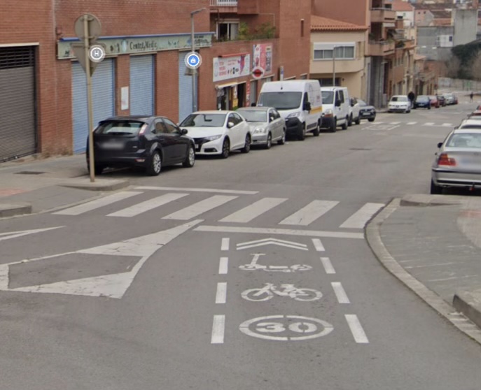
Low-traffic urban road. Driving speed is usually limited to 30 km/h. It may have signage or treatment that gives priority to bicycles on the roadway.